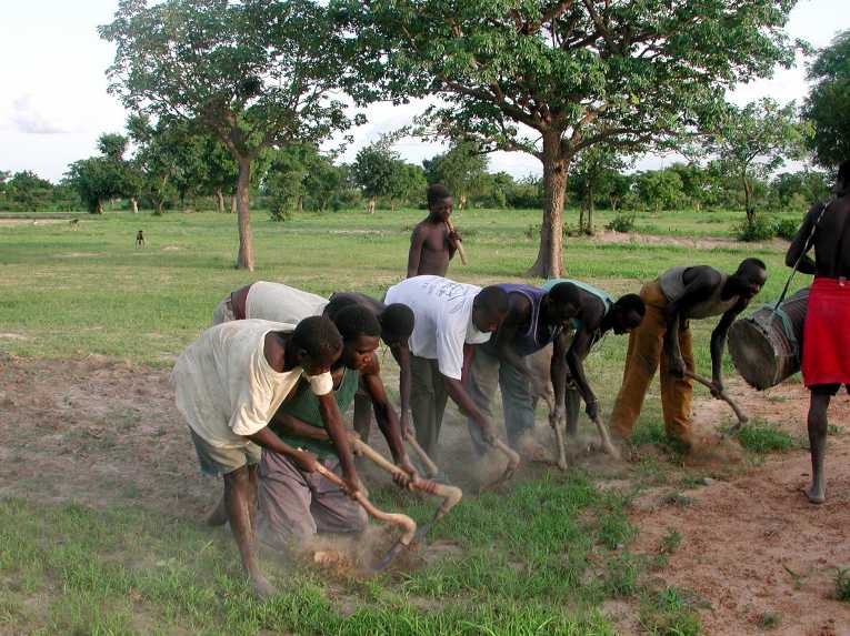
For African farmers from the Sahel region, casting their eyes eagerly to the horizons, on the look out for the July monsoon rains, a new study offers hope of better forecasts. A group of scientists, using high resolution satellite data, may be able to better predict which areas in the Sahel will gifted with rain - and which won't. That could really benefit those living in this dusty belt of scrub-land, which stretches 3,000 miles from West Africa to the Red Sea coast. It is home to more than 70 million people, half of whom depend for their livelihood on farming. The work appears in this month's Nature Geoscience, and is the latest scientific study to pick up on the importance of soil moisture levels on the weather.
The Sahel monsoon is triggered from late June to early July, when the weather bands snaking across the African continent make their annual leap northwards. An area in the atmosphere - known as the Inter-Tropical Convergence Zone - moves over the Sahel at this time. It marks the fault-line between air from the southern and northern hemispheres. Laden with moist air, that rises to form gigantic thunderstorms, it is one of the main sources of rain in the growing season. But predicting when and where these thunderstorms will form is tricky.
This new study, by scientists working under the African Monsoon Multidisciplinary Analysis program, turned to the soil to try and find ways to improve the predictability of the monsoon storms. Any improvement in forecasts is important, because the Sahel monsoon is usually only a brief wet window of two months, petering out by the end of August.
The team made use of a series of detailed satellite images, covering the entire region - which pinpointed details down to a couple of miles - in order to track the development of monsoon storms. The images were taken every quarter of an hour, and stretch over the course of five years. So they offer a superb resource for scientists, wanting to dig deep into the detail of weather as it happened. Close to 4,000 storms were tracked in this way.
What they found was a strong connection between where storms formed, and the gradient of soil-moisture content on the ground. Storms seemed twice as likely to form over areas where the levels of moisture changed rapidly, compared to those areas where there was little variation in moisture levels.
Dr Chris Taylor, lead author of the paper, from the Center for Ecology & Hydrology, in the UK, said, "Rainfall is difficult to predict, particularly in regions such as the Sahel where huge storms can grow from nothing in a matter of hours. We found that areas with contrasting soil moisture play an important role in the creation of new storms, a factor not accounted for in current climate models. Our study shows that this effect is important for typically 1 in 8 storms, in a region particularly prone to droughts and associated crop failures."
Not only may that aid predictions of weather locally,during monsoon season, it means that feeding 'soil moisture' into climate models may give them a better handle of the evolution of the global warming. Dr Taylor said that 'by exploiting data from satellites, we hope to be able to improve model predictions of both weather and future climate.'
Top Image Credit: © Gilles Paire


