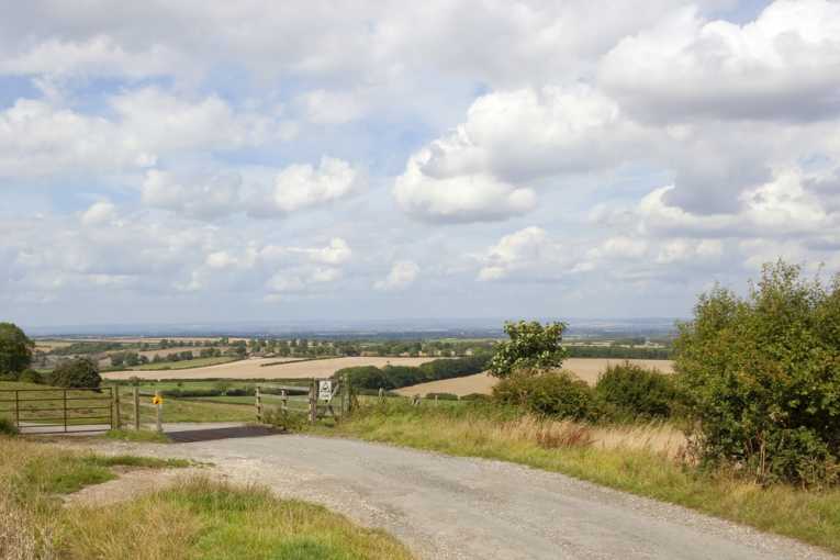
More than half of England's countryside could be in danger of being developed because of planning reforms, says a top campaigning group. To show the extent of the area of countyside at risk from the Government's planning reforms, the Campaign to Protect Rural England (CPRE) has produced a report with detailed maps.
Fiona Howie, CPRE's Head of Planning, says, "We are pleased that the Government's planning reforms will retain protections for specially designated countryside, but Ministers have provided no reassurance that the final National Planning Policy Framework (NPPF) will recognise the value of the wider, undesignated countryside that makes up more than half of England's rural landscape.
"We are not seeking a national policy that would prevent all development. But if we are to avoid damaging the character of rural areas by making it easier for inappropriate, speculative building to take place - a bungalow here, a distribution shed there - decision makers must be encouraged to take account of the intrinsic value of the wider countryside when considering development proposals.
"The imminent changes to the planning system should ensure that it is not only the specially designated areas that are valued."
Excluding protected areas, like National Parks, the Green Belt and Areas of Outstanding Natural Beauty, CPRE says 55% of England's countryside could be at risk from development and urban sprawl. The total English countryside measures 46,861 square miles and 26,153 squre miles would be unprotected, according to CPRE figures.
For many years, planning regulations have included undesignated areas, but the draft NPPF, does not do so. The East Midlands, with 73% undesignated countryside, and Eastern England, with 66% undesignated, is in most danger.
Prime Minister David Cameron recently described West Oxfordshire as "one of the most beautiful parts of our country, set in some of England's finest countryside" that he would "no more put that at risk than I would put at risk my own family". But CPRE says 55 per cent of his Witney constituency will be at greater risk unless the draft NPPF is changed to recognise of the importance of the wider, undesignated countryside.
Of the top 150 constituencies with the most ordinary countryside at risk, five are held by Cabinet Ministers, 118 by Conservative MPs, 14 by Liberal Democrats and 17 by Labour members.
Many of England's most attractive countryside is not covered by nationally designations or local plans and areas that depend on local plan protection might not stand up to pressure from contentious development proposals, the CPRE warns.
England's undesignated countryside includes:
· Most of Cornwall, North and East Devon
· the Pennine slopes east of Macclesfield
· North-west Dorset and South Somerset
· the Welcombe hills, near Stratford-upon-Avon
· the river bank west of Knaresborough
· the Vale of Pewsey in Wiltshire and North Hampshire
· Sussex Lower Weald
· the Gog Magog Hills south of Cambridge
· most of Romney Marsh
· the Garden of England, South of Maidstone and North of the North Downs
· 'Midsomer' England in Buckinghamshire and Oxfordshire
· the village of Hanbury in Worcestershire - the basis for the fictional Archers village of Ambridge
Fiona Howie adds, "If Ministers value the English countryside as a whole this should be reflected in the new national planning policies. It would be risky to rely solely on any local protection for the wider countryside, the status of which is extremely uncertain.
"Without national support, any protection local plans give to the wider countryside is likely to be challenged by developers. It's important the Government gets this policy right first time round to avoid unnecessary damage to the countryside as the planning reforms are implemented on the ground."
The report, interactive maps and image galleries are available for download from the CPRE.


