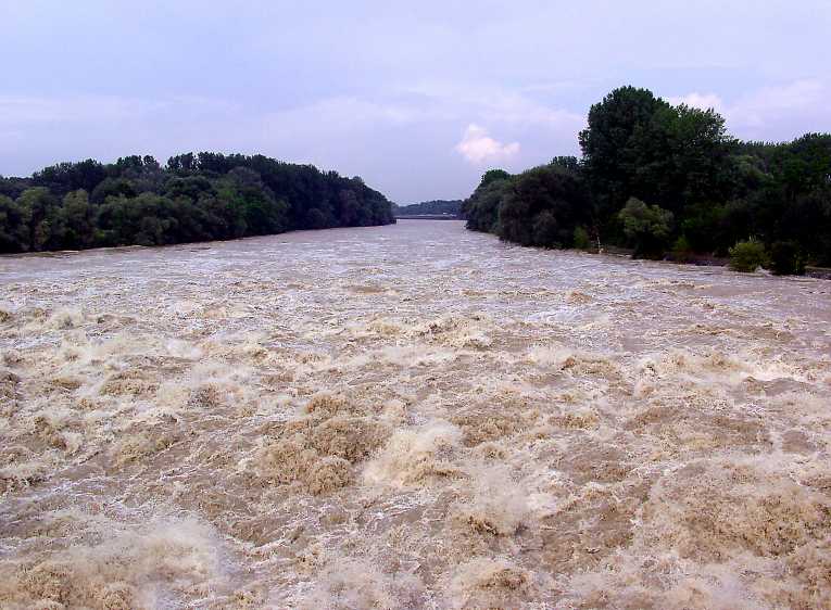
As the muddy bulge of the Mississippi's floodwaters slips remorselessly towards the Gulf - and the cities of New Orleans and Baton Rouge - a team from Louisiana State University has been asking - can we make better use of 'The Big Muddy?' The group of river engineers and scientists, from the Vincent A. Forte River and Coastal Hydraulics Lab, have studied the lower Mississippi tract for many years, using a 50 foot replica scale model. With work underway on a replacement model, that will be four times the size, Clint Willson, director of the Lab, is suggesting that our current approach is missing a trick or two.
The Mississippi River, the third largest river in the world, has been surging floodwater south, ever since the dramatic deluges experienced across the US - during April's unprecedented weeks of storms. It has been classed as a '500-year' flood, meaning the predicted frequency of such a flood is once per 500 years. After a number of devastating floods last century, a system of levees and flood channels are in place to better manage such flood events today. But the system has never had to cope with as massive a surge as is being seen right now.
The need for a system of river management is obvious, to counter the tendency of the Mississippi to buck to its own rhythms. ''Historically, the Mississippi River is a meandering river, shifting its path pretty substantially over the past hundreds and thousands of years,'' said Willson. ''However, Louisiana, especially south Louisiana, relies on industry supported by the enormous number and size of ports. You can't have a thriving port industry if the river you depend on constantly shifts, which is why we have restricted the river's meandering over time.''
It is likely that, in addition to the damage wrought by this month's flood, large amounts of sediment will be dumped in the main channel, and the Gulf approaches. That will cost significantly, in both time and money, to dredge and clear. But for Willson and his colleagues, rather than a destructive harbinger of doom, floods such as these should be seen as opportunities. The sediment load, that can cause such problems for navigation, is needed in other parts of the lower Mississippi basin - such as coastal wetlands, which miss out on sediment under the current system.
''We would like to locate and design a diversion system that more effectively captures sediment. The Mississippi River is a wonderful natural resource, but currently we are not fully utilizing these resources,'' he said ''Many of our coastal wetlands are in need of river water and sediment. With proper management and perhaps integration with flood control measures that take into consideration public safety and economic impact, we can harness all the qualities we’re not currently taking full advantage of.''


