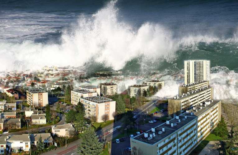
A tsunami can be terrifying and devastating.
It is caused by a wave from an under-sea earthquake, spreading outwards until it reaches land, usually without warning. As the depth of water decreases the wave's pent-up energy creates a devastating wall of water that hits the coastal area, causing massive destruction and often a considerable loss of life.
A major problem has always been that with no warning, coastal residents have simply not had time to get out of the way, but this might be about to change.
Seismologists at the Georgia Institute of Technology have developed a new system that could be used to give this vital warning, just minutes after the initial earthquake. Lives could be saved by giving people time to move to higher ground.
Andrew Newman is assistant professor in the School of Earth and Atmospheric Studies at the Institute. Writing in 5thMarch edition of Geophysical Research Letters he said that, ''… we developed a system (known as RTerg) that in real time successfully identified the 2010 Sumatran earthquake as a rare and destructive tsunami earthquake.''Typically a large subduction zone earthquake will rupture at the rate of around 3 km per second anywhere between 20 and 50 km below the Earth's surface. At this depth, uplift of the Earth's crust is small. If this occurred under the ocean, even for an earthquake of 7.8 magnitude, resulting waves would only be around 20 cm high.
Tsunami earthquakes rupture more slowly, at around 1 to 1½ km per second and are closer to the seabed. This can result in nearby wave heights of up to 10 to 20 metres. In the Sumatran earthquake, which had a magnitude of 7.8, wave heights of up to 17 metres were recorded. The death toll was around 430.
Professor Newman explained, ''Because tsunami earthquakes rupture in a shallow environment we can't simply use a measurement of magnitude to determine which ones will create large waves. When they occur, people often don't think they are significant, even if they feel them in the first place, because they seem like they are smaller than they actually are.''
Usually within four minutes of an earthquake occurring, RTerg will receive a notification. This will tell the system the quake’s depth, location and approximate magnitude. If it is of magnitude 6.5 or higher, additional data will be requested from some 150 seismic stations around the world. It takes about a minute to request and receive this data.
RTerg then uses its algorithm to run through every second of the rupture and determine the incremental growth of energy and ascertain whether in fact this is a tsunami earthquake.
The first time the system was used 'for real' was during the Sumatran event. In that case a potential tsunami earthquake was identified after eight and a half minutes
As Professor Newman puts it, ''Since most inundations of coastal environments do not take place until about 30 to 40 minutes after the earthquake, we now have 20 to 30 minutes to get people out of the way.''


